
Precision & Reliability
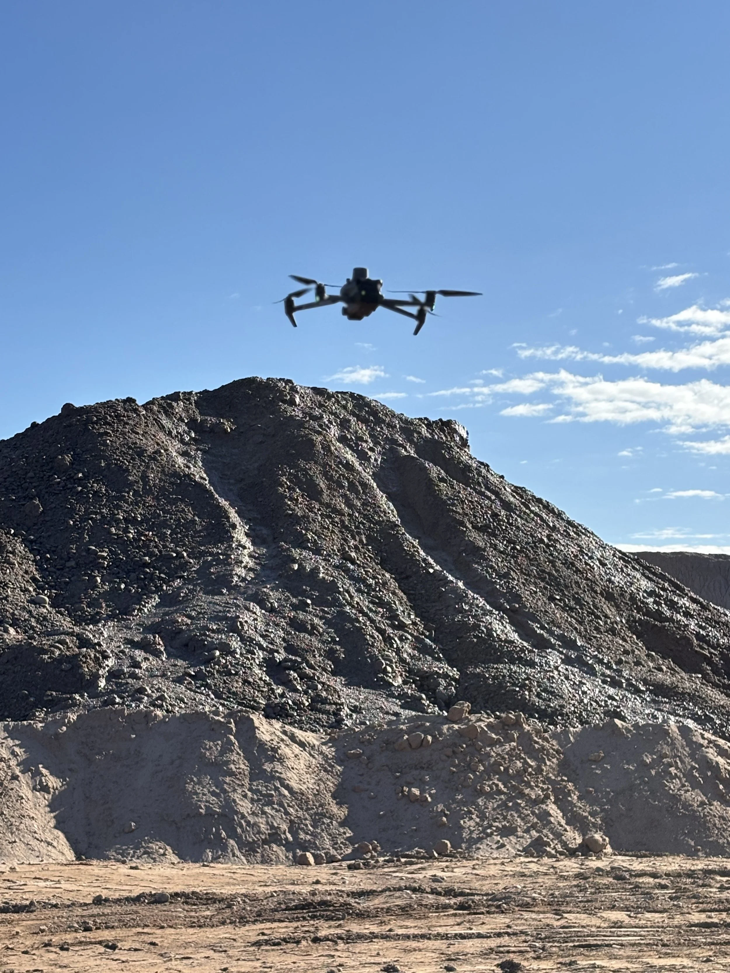
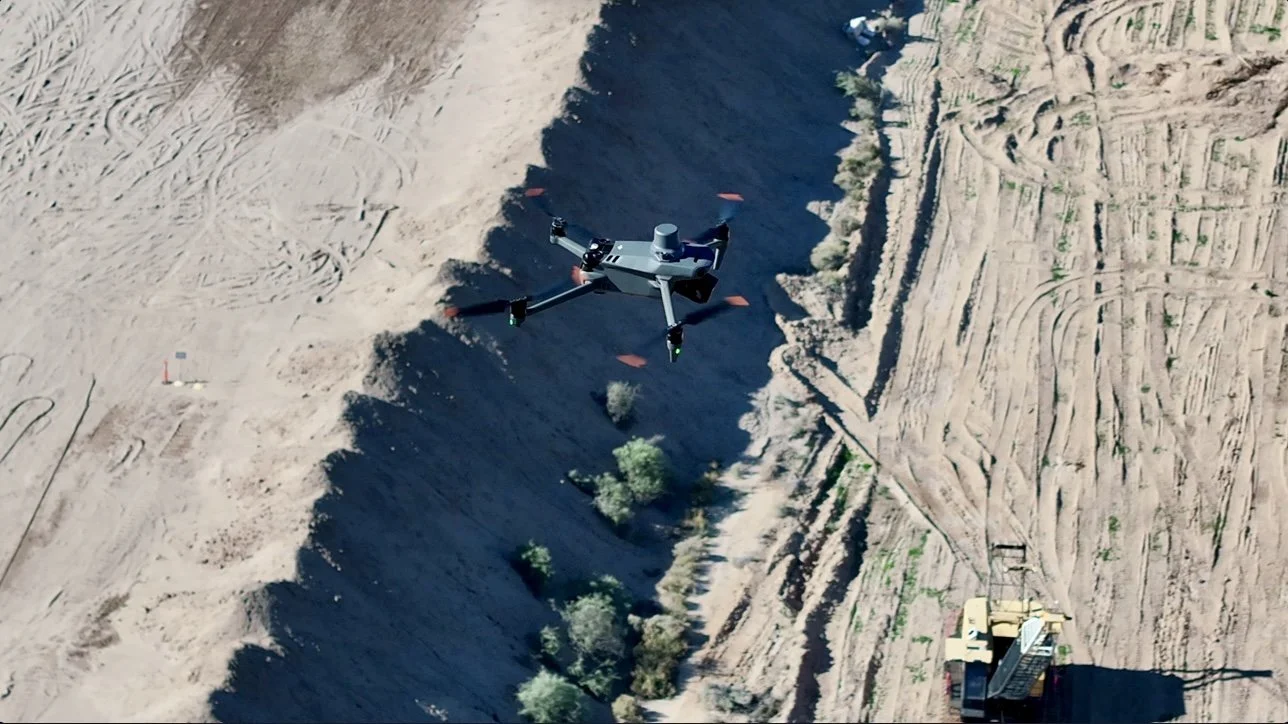
FAA Part 107 certified drone solutions for mapping, inspections, and professional media.
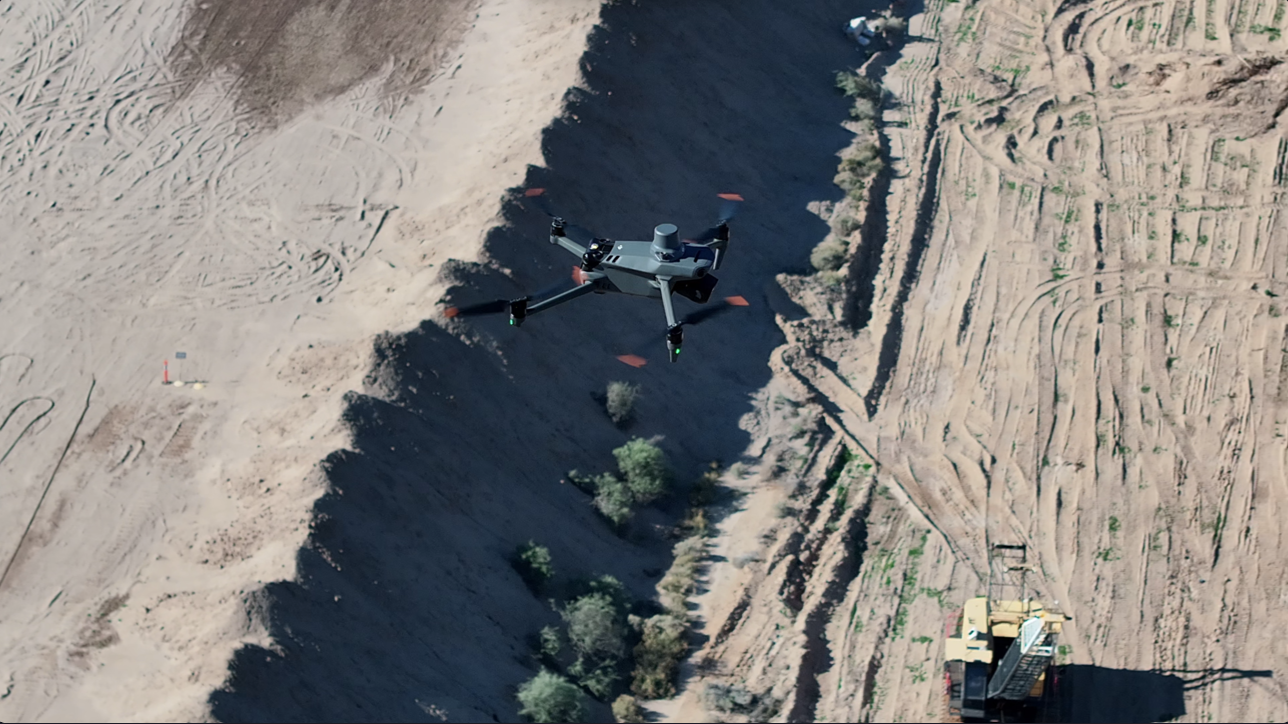
Services That Accelerate Your Mission
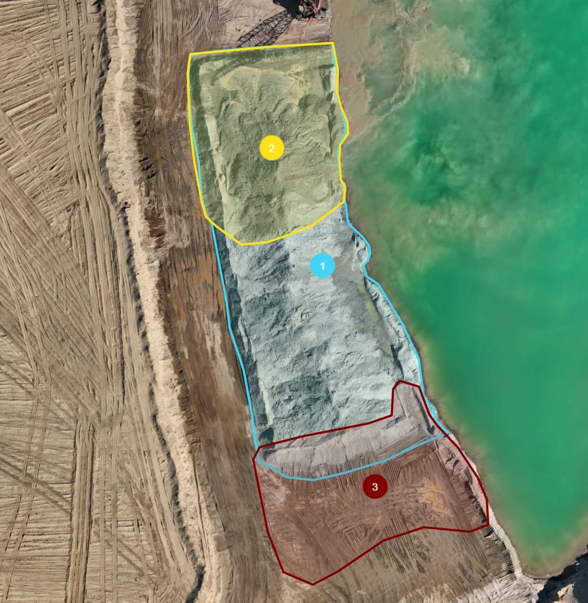
Accurate aerial mapping and volumetric calculations for aggregate and construction sites. Reliable data for planning, reporting, and billing. Starting at $900/project or $250/hour. Prices subject to change after initial consultation.
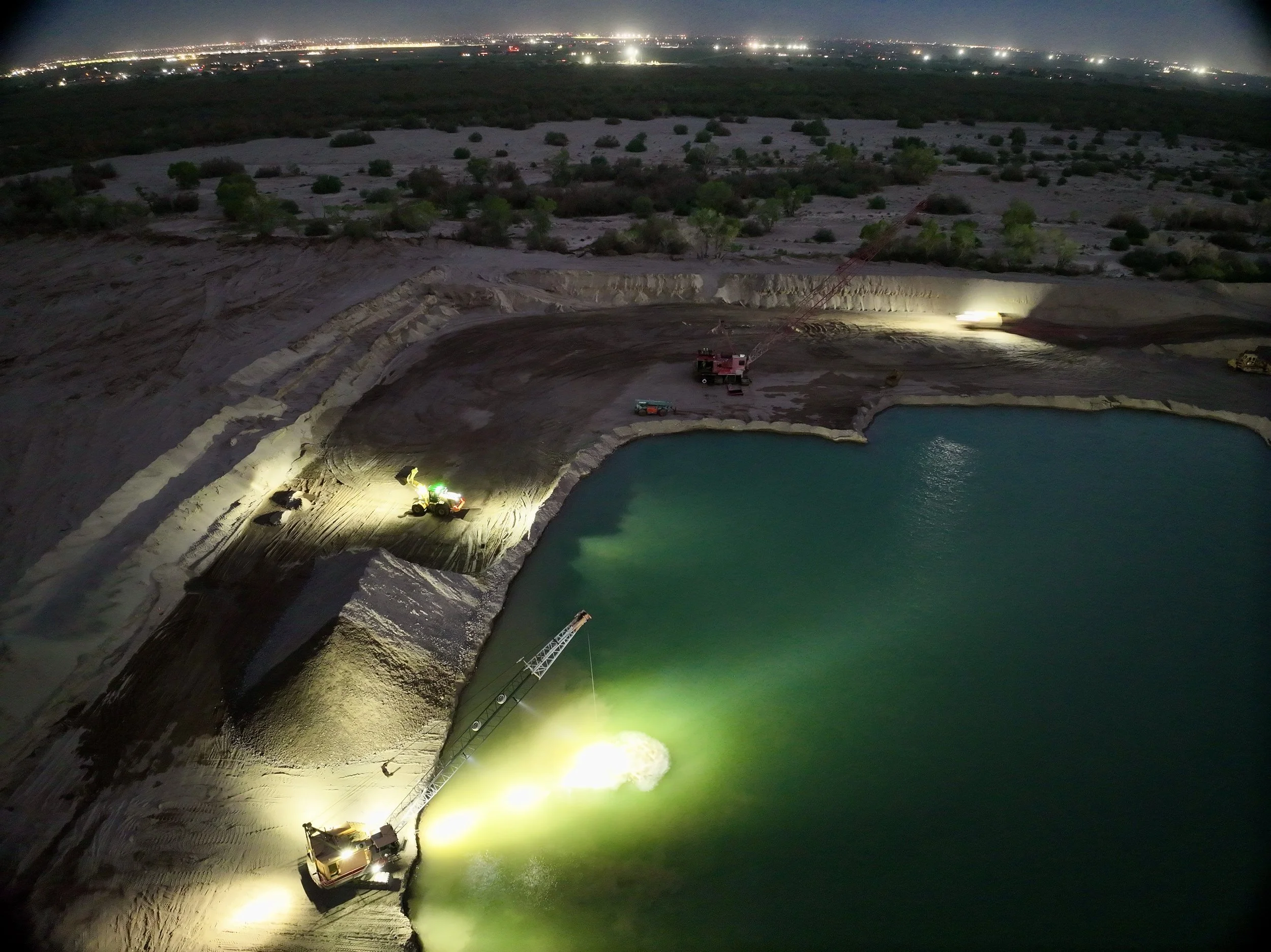
Safe, efficient aerial inspections of equipment, structures, and job sites. Prices starting at $550/project or $225/hour. Prices subject to change after initial consultation.
We help industrial companies integrate drone technology into their workflow - No prior experience needed, we’ve got you from the ground and up. Prices starting at $750/project or $125/hour. Prices subject to change after initial consultation.
A Source You can Trust
We started with a single mission: to bridge the gap between ground-level operations and “big picture” data needed for accurate billing, asset management, and safety.
Carlos’ Drone Service provides essential tools for modern job sites. We use high-precision workflows and data analytics, combined with a strong foundational knowledge of geosciences, aerial mapping, surveying, and media production to get the job done.
Follow the Flight Path
⦁
Follow the Flight Path
Follow the Flight Path ⦁ Follow the Flight Path


Ready to Fly?
Send us your project details and let us help you elevate your business.